River levels can change hourly in the West Kootenay region of British Columbia so it’s important to know where to get the best info.
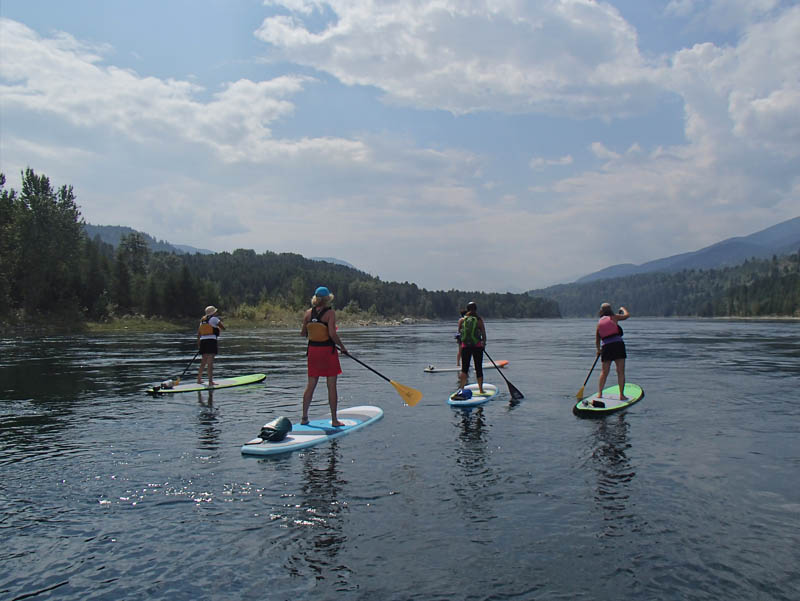
Stand Up Paddling in BC
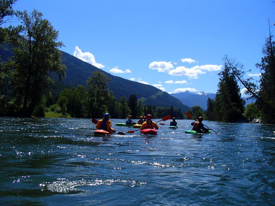
Most places in the world have seasonal water fluctuations and depending on the time of year, paddlers have a general sense of whether levels are going to be low or high. The Kootenay region in south-western British Columbia is not most places in the world, however. For one thing, the area offers incredible, easy-to-access opportunities for paddlers of all abilities in an environment that boasts some of the most stunning mountainous backdrops on Earth. For another, river and lake levels here can change not only daily, but hourly. There are three main waterways to be aware of in the region and they include the Columbia River, which includes the Arrow Lakes Reservoir, the Kootenay River, and the Slocan River, which feeds into the Kootenay.
In this article, we explain what you need to know about water levels and paddling safely in the West Kootenay and we refer the the following resources:
- Expert guide knowledge at Endless Adventure
- Paddling Maps
- The RiverApp
- BC Hydro Meteorological Data
Paddling In The West Kootenay BC
Seasonal Fluctuations of Water Levels in the West Kootenay
The interior of British Columbia is a region of high mountains and low valleys where the snowpack can pile as high as 12 metres (40 feet) in some places. So when the weather starts to warm in the Spring, the thaw, or “freshet” as it’s known here, can be substantial. It can last for weeks and dramatically impact drainages by increasing the water levels of creeks, rivers, and lakes. This can be a really fun time to paddle the area’s waterways but it’s also a serious one, especially if attempting any of the smaller creeks. One excellent resource is the RiverApp, which can be downloaded to your phone and it offers real-time river condition info. The best resource, though, is local knowledge because in some instances a waterway such as the Kaslo River for example, can look very different from season to season what with log jams and such. Check in at Endless Adventure where you’ll find all the latest river level info you need.
Impact of Weather on Water Levels in the West Kootenay
It makes sense that if there’s a particularly hot day in the Spring, then water levels will rise because snow is melting faster in the mountains. Likewise, if there’s rain at altitude, then it can have the same impact on snow melt as a hot day. According to Chris Ryman, the owner of Endless Adventure who’s been paddling the waters in the West Kootenay for almost two decades, the “perfect storm” of weather impact on river levels, occurs “when you have a super hot day above 30°C in June and then rain showers at night, which saturate the ground.” Instances like that are guaranteed to swell creeks and raise water levels he says.
How Hydroelectric Dams Affect Water Levels in the West Kootenay
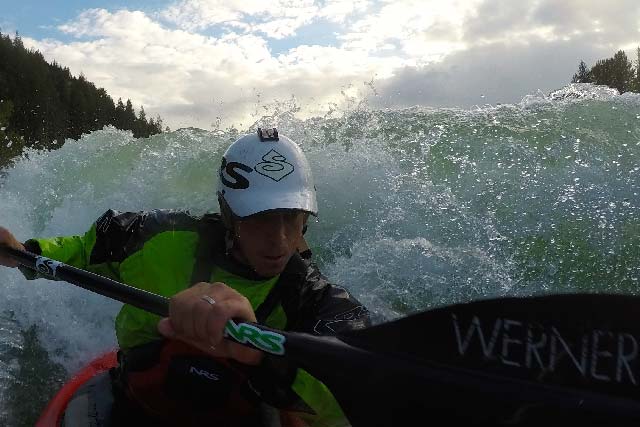
By far the biggest factor that impacts water levels in the West Kootenay region on a day-to-day basis throughout the year are the hydroelectric dams, operated by BC Hydro. There are over ten of them on the Columbia and Kootenay Rivers in this area north of the American border and each plays a role in how much water is allowed to flow at any given time based on power usage and trade agreements between Canada and the US. On an annual basis, there are trends that can be expected, says Ryman. For example “every March the level of the Columbia River is intentionally kept low until the Kootenay River runs its course during freshet.” But he goes on to say the Slocan River is the wildcard. “During a big run-off, it hits the Kootenay River and all the extra water needs to be spilled off at the Brilliant Dam,” he says. “That’s when we can surf the Brilliant Wave.”
The BC Hydro Meteorological Data website tracks water levels every 15 minutes at the Columbia/Birthbank station (between Castlegar and Trail) and the Slocan River near Crescent Valley. However, good gauges do not exist on the Kootenay River so there’s a lot of educated guesswork that needs to happen in order to understand what the paddling conditions are like there.
That’s why it’s a good idea to check in with a local expert, such as the staff at Endless Adventure, to get a sense of exactly what’s happening on the local waterways and what can be expected in terms of water levels and safe paddling in the West Kootenay.
Email info@endlessadventure.ca or call 1-877-FUN-8181.